Geox logo
Leaflet-Based Dynamic Web Map

Explore public basemaps and analytical overlays in a single map workspace

Geox is a Leaflet-based web mapping application designed for dynamic layer exploration, map comparison, and practical geospatial workflows. The platform combines basemap switching with publicly available WMS/WMTS overlays and interactive map tools so users can inspect, compare, draw, measure, and export directly on the map.

Geox interface screenshot 1

Geox Layer and Comparison Flow

Geox structures map work from basemap selection to thematic overlay analysis, with swipe-based visual comparison and grouped layer management.

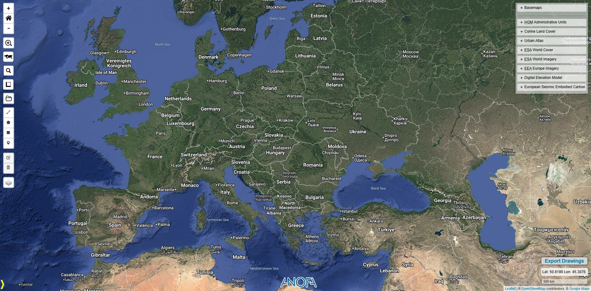
1) Choose a Basemap Context

Switch between Google Hybrid/Streets, OpenStreetMap, and Esri World Topo/Dark Gray views to set the right visual context.

2) Add Thematic Overlay Layers

Stack public datasets such as Corine CLC, Urban Atlas, ESA WorldCover, EEA imagery, SRTM30 DEM, and HGM administrative units.

3) Compare and Inspect

Use panel-based controls and swipe comparison to evaluate temporal and thematic differences across datasets.

Geox interface screenshot 2
Geox interface screenshot 3

Technical Foundation: Services and Layer Architecture

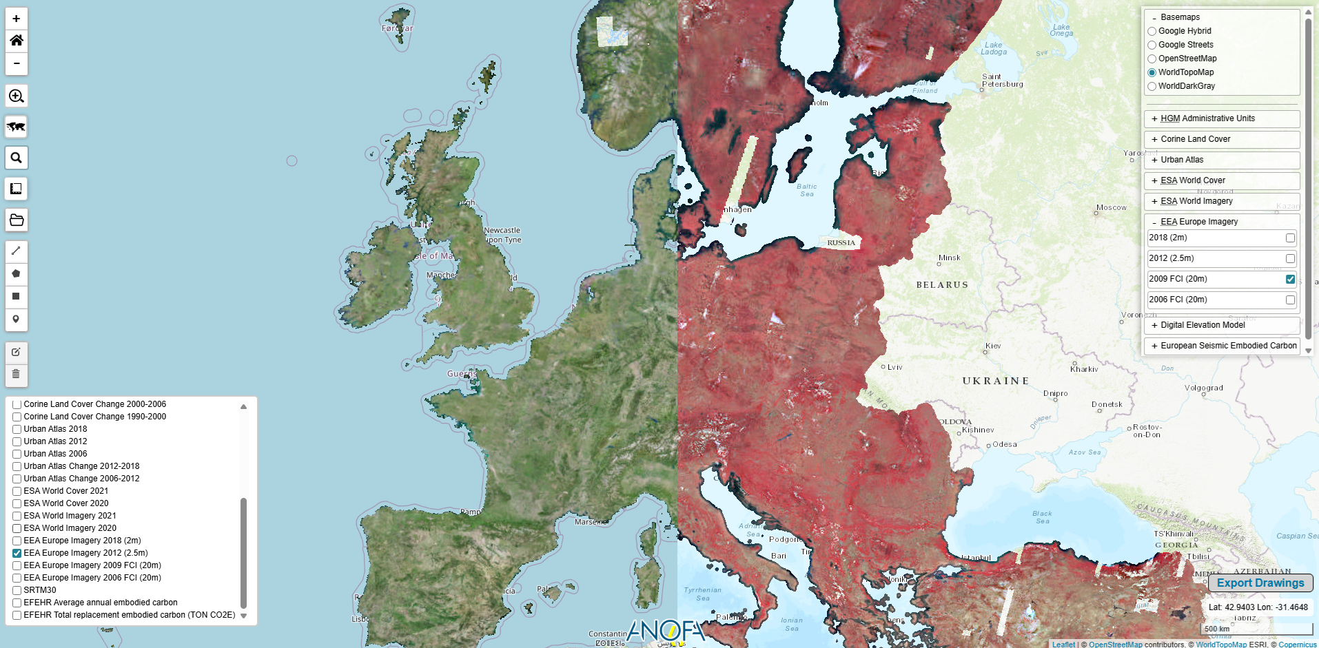
Geox blends Tile, WMS, and WMTS services in a single Leaflet map, supported by BetterWMS queries, grouped controls, and legend-driven thematic interpretation.

  • The application consumes both raster tile basemaps and external WMS/WMTS service endpoints for multi-source layer composition.
  • Overlay groups include multi-temporal land cover and imagery sets, allowing visual time comparison within one interface.
  • Legend popups are linked to thematic groups so class definitions are available while exploring spatial patterns.
  • Dual panel layer controls and swipe tooling support side-by-side or split-view style decision workflows.

Map Tools and Data Interaction

Beyond visualization, Geox supports search, measurements, coordinate readout, drawing/editing, and dataset import/export for practical daily map operations.

Key capabilities in the interface

  • Address search via OpenStreetMap Nominatim and quick zoom-to-location workflows.
  • Zoom-home/default extent, box zoom, scale bar, and live coordinate display tools.
  • Distance/area measurement and map-side geometry drawing with edit/delete support.
  • GeoJSON export for drawn features and feature-info popups from interactive layers.
  • Local file loading for GeoJSON, SHP, KML, and GPX with automatic styling on upload.
Geox interface screenshot 4

Public Data Scope in Geox

The current Geox configuration includes publicly available European and national reference layers for land cover, imagery, elevation, and administrative context.

  • Corine Land Cover (1990, 2000, 2006, 2012, 2018) and Corine change layers are available for long-term land-use trend exploration.
  • Urban Atlas snapshots and change products, plus ESA WorldCover and ESA World Imagery mosaics, support urban-scale visual comparison.
  • EEA Europe imagery vintages and SRTM30 elevation/contour overlays provide additional terrain and image context.
  • HGM country/city/district boundaries and district center points are integrated as GeoJSON overlays with attribute popups.

Product Walkthrough Media

Watch Geox workflow demos for layer analysis, map interaction, and export workflows.

Geox Overview

Layer Comparison Demo

Start Mapping with Geox

Navigate from basemap context to thematic overlays, then analyze, annotate, and export your findings in one streamlined map interface.

Launch Geox